File:Calvin aerial.jpg
Jump to navigation
Jump to search
Size of this preview: 800 × 295 pixels. Other resolutions: 320 × 118 pixels | 640 × 236 pixels | 1,024 × 377 pixels | 1,280 × 471 pixels | 3,982 × 1,466 pixels.
Original file (3,982 × 1,466 pixels, file size: 3.97 MB, MIME type: image/jpeg)
Captions
Captions
Add a one-line explanation of what this file represents
Summary
[edit]
| Description |
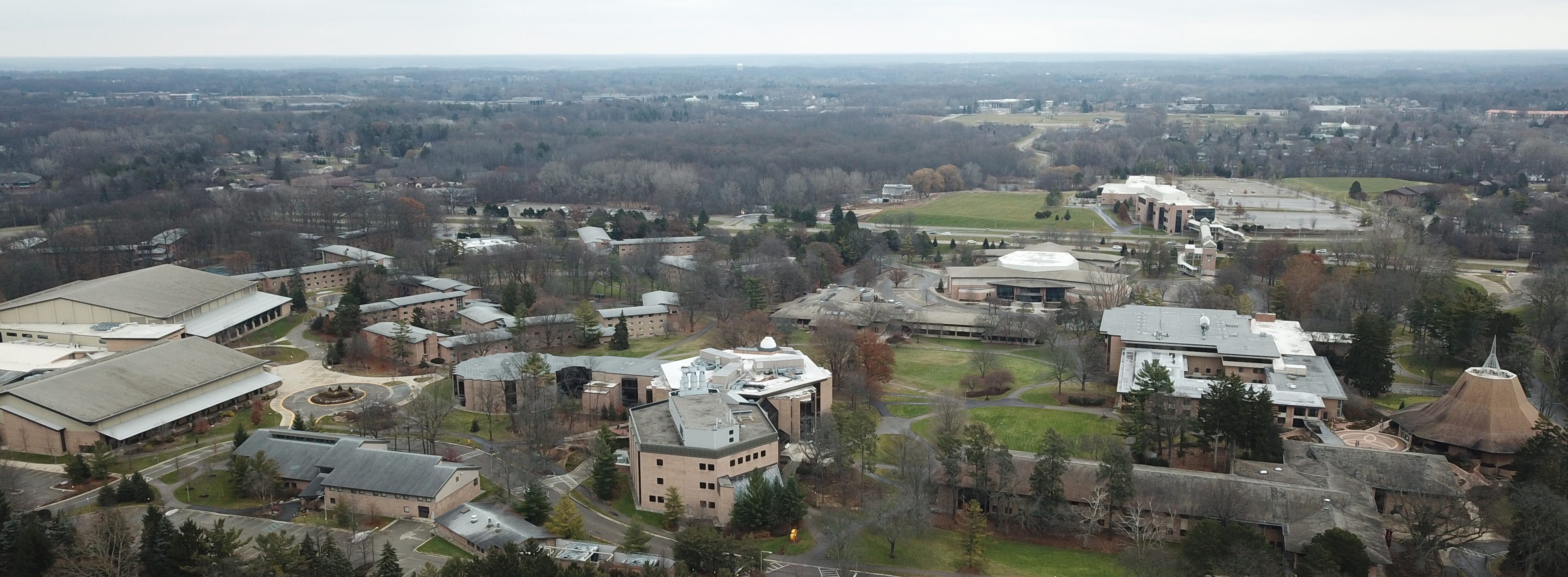
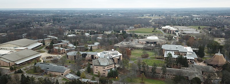
English: Aerial view of Calvin's campus from the west |
| Date | |
| Source | Own work |
| Author | Michael Shade |
| Camera location | | View this and other nearby images on: OpenStreetMap |
|---|
Licensing
[edit]
I, the copyright holder of this work, hereby publish it under the following license:
| This file is made available under the Creative Commons CC0 1.0 Universal Public Domain Dedication. | |
| The person who associated a work with this deed has dedicated the work to the public domain by waiving all of their rights to the work worldwide under copyright law, including all related and neighboring rights, to the extent allowed by law. You can copy, modify, distribute and perform the work, even for commercial purposes, all without asking permission.
|
File history
Click on a date/time to view the file as it appeared at that time.
| Date/Time | Thumbnail | Dimensions | User | Comment | |
|---|---|---|---|---|---|
| current | 21:33, 19 November 2021 | 3,982 × 1,466 (3.97 MB) | Андрей Романенко (talk | contribs) | cropped | |
| 18:23, 23 December 2018 | 3,982 × 1,505 (5 MB) | Michael Shade (talk | contribs) | Cross-wiki upload from en.wikipedia.org |
You cannot overwrite this file.
File usage on Commons
The following 2 pages use this file:
File usage on other wikis
The following other wikis use this file:
- Usage on en.wikipedia.org
- Usage on fi.wikipedia.org
- Usage on tr.wikipedia.org
- Usage on www.wikidata.org